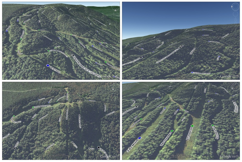
.
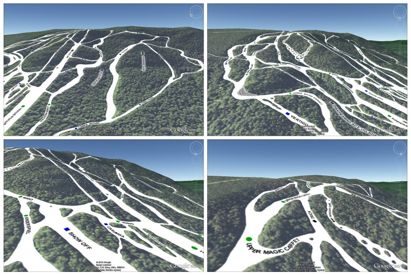
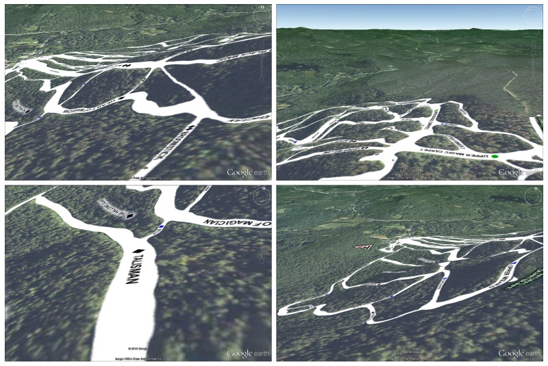
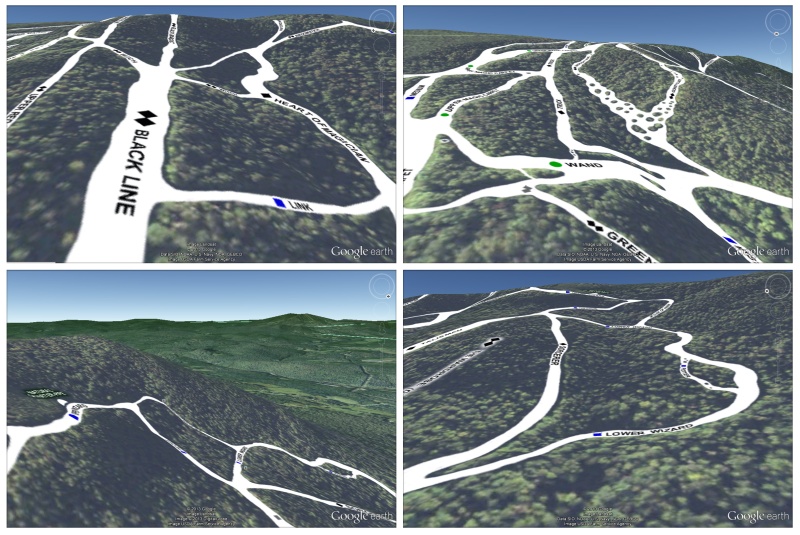
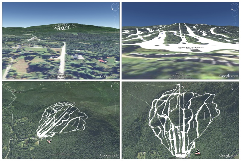
A couple years ago I stumbled upon a 2009 blog post by Mike Pinkowish, a Facebook engineer who in his spare time created a custom Google Earth layer of the ski trails on the Jackson Gore side of Okemo Mountain. I thought it was a very cool idea and have been surprised that I’ve never seen it replicated. This past month I finally got around to taking a shot at creating such an overlay using my new home mountain of Magic Mountain in Londonderry, Vermont.
I quickly learned that custom layers can only be created by those in possession of Google Earth Pro and a lot more tech savvy than I have. However, as is often the case, a pinch of graphic design know-how can sometimes make up for a complete lack of coding ability. I soon figured out that I could create a PNG image of the trail system (in which part of image is transparent and part opaque) and use Google Earth’s simpler and less robust image overlay feature to pretty much pull off the same thing.
One limitation of the image overlay method as compared to a true custom layer is that the overlaid image is raster and gets blurry upon enlargement. In Mike Pinkowish’s custom layer the graphics are vector and stay sharp at any zoom level. In reality, this might not be as big of an advantage as it first appears because the underlying satellite imagery is raster so draping it in vector graphics is a bit like putting lipstick on a pig. The case can be made that having the overlaid elements match the background in zoom blurring is actually preferable and a more natural feeling setup.
To create a more functional 3D map I decided to create two overlay images (and thus layers) instead of one. I made one image/layer with the buildings and trails (colored in white to simulate snow-cover) and a second one with the trail names. This setup allows for users to see the whitened trail system and trail names together or independent of each other, as can be seen in the last set of screenshots below.
.
.
Click here for 3D map download and instructions
.
.
The Overlay in Google Maps
The 3D map .kmz file can also be loaded into Google Maps where it will show up as a 2D map with its own limitations and benefits. The main limitation is that the map cannot be tilted or rotated. Although there is now a Google Earth layer in Google Maps that provides such functionality, the trail overlay doesn’t show up in this layer for some reason. The benefits, however, are that the trail overlay can be seen over a topographical map in the Terrain layer (though with limited zooming) and it can be embedded and displayed on other webpages. An example of these benefits can be seen below.
The Google Map overlay can also be viewed full-size at a permanent url where the trail and trail name layers can be turned on and off.
.
A couple of things to take note of…
- The map can be zoomed-in much closer using the “Map” and “Satellite” layer than it can using the “Terrain” layer.
- The overlay only works on the Google Map’s desktop version and not on the mobile version. You can still use the overlay in Google Maps on your mobile device but you have to use the browser-based version not the Google Maps app.
- There is a room for improvement in the Google Map’s “Terrain” layer accuracy. Anyone who has ever stood at the top of Magic’s extremely steep Master Magician trail will clearly recognize that the altitude bands this trail sits over are a bit off-kilter. They depict only the lower section of the trail as being steep. In reality the trail is nearly 45 degrees steep right from the get-go; it drops off the Wizard trail literally like a cliff.
